- Home
- Section Introduction
Section IntroductionSection
The Shin-etsu Trail is made up of 10 sections, for a total length of 110 kilometers
Place names in each section
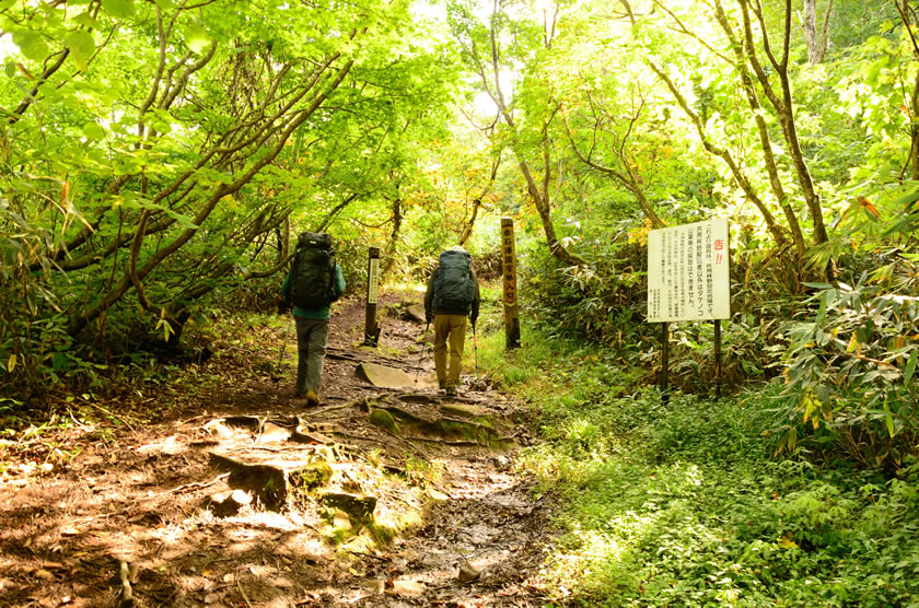
Section10 approach
Haraigawa Tozanguchi trailhead
Section10
Koakasawa
Mt. Naeba trailhead, ichi gōme (first station)
San gōme (third station)
Mt. Naeba
Section09
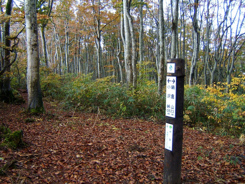
Kettō
Mikura
Ōakasawa
Amazake Village ruins
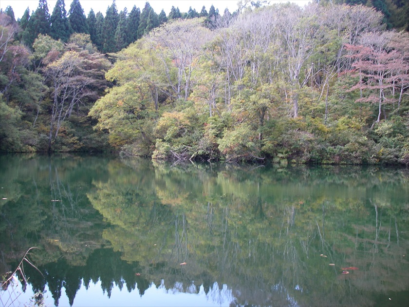
Koakasawa
Section08
Mori-Miyanohara Station
Miyanohara Bridge
Nakago
Myōhō Pasture Office
Azuki Jizo
Kettō
Section07
Mt. Amamizu
Satoyama Deai
Mori-Miyanohara Station
Section06
Busuno Tōge pass
Sugawa Tōge pass
Nonomi Tōge pass
Misaka Tōge pass
Mt. Amamizu
Section05
Sekida Tōge pass
Maki Tōge pass
Utsunomata Tōge pass
Maboroshi no Ike pond
Busuno Tōge pass
Section04
Hotoke ga Mine Tozanguchi (trailhead)
Kozawa Tōge pass
Mt. Nabekura
Sekida Tōge pass
Section03
Wakui
Tomikura Tōge pass
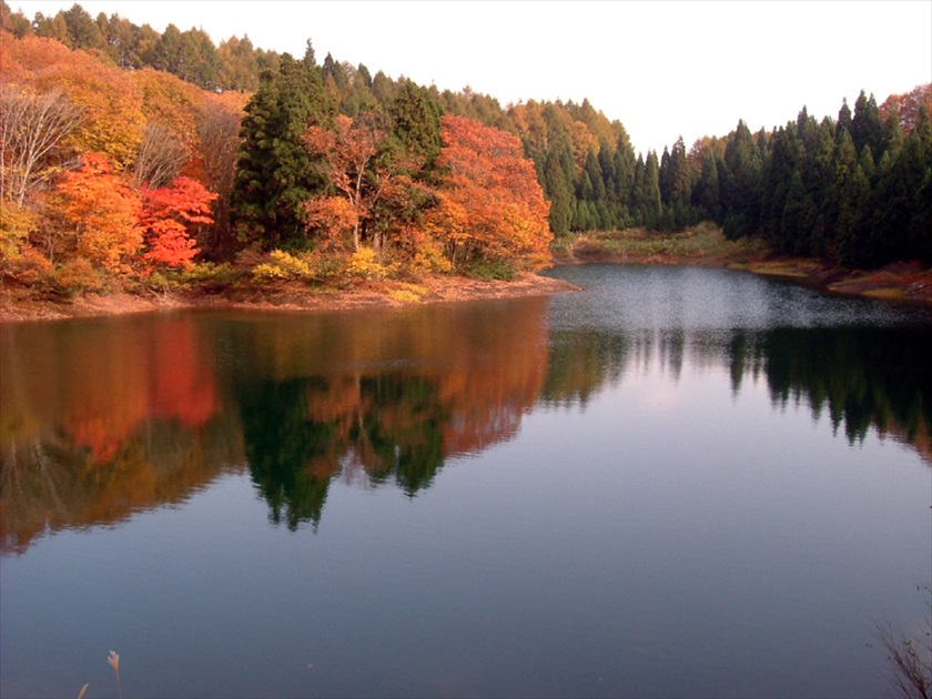
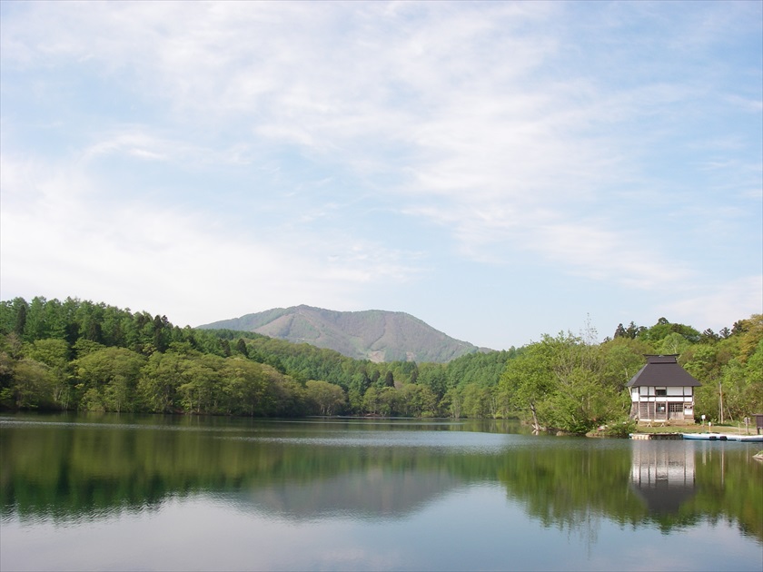
Sobu no Ike pond
Mt. Kuroiwa
Katsura Ike pond
Hotoke ga Mine Tozanguchi (trailhead)
Section02
Aka Ike pond
Numanohara wetland
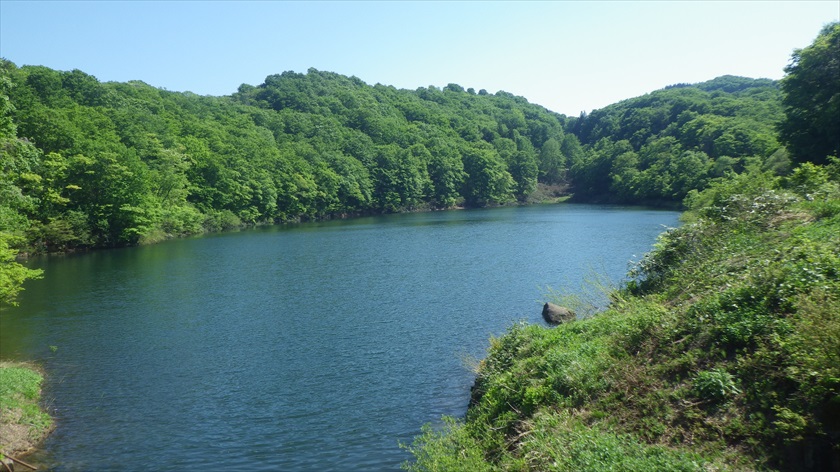
Lake Nozomi
Mt. Kenashi
Wakui
Section01
Mt. Madarao
Manzaka Tōge pass
Hakama Shitsugen (wetland)
Mt. Hakama-dake
Aka Ike pond
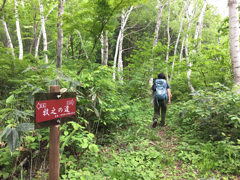
Section01 approach
Madarao Kogen Yama no Ie
Tyrol Trailhead
Trail Itinerary
- From Mt. Madarao
- From Mt. Naeba
 Parking
 Toilets
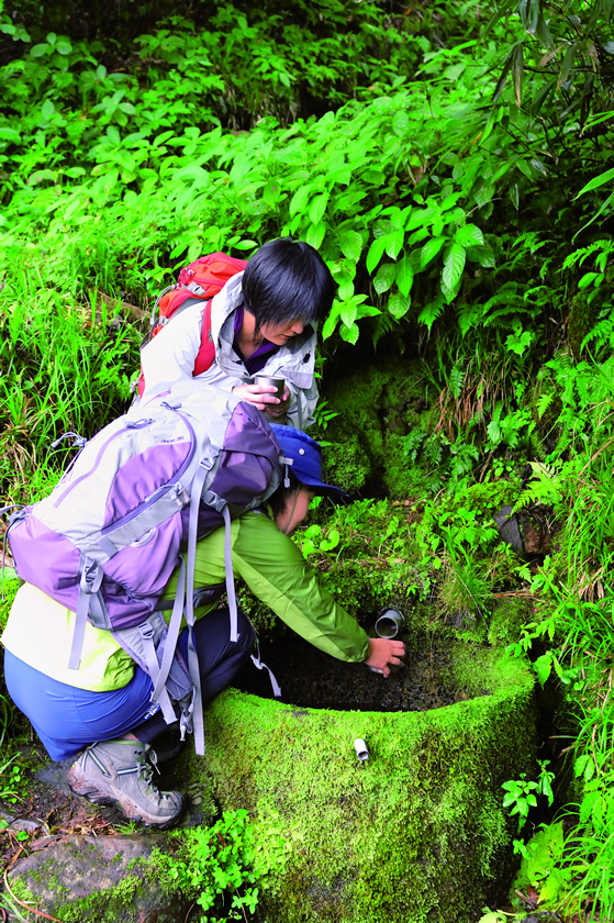
 Water
Water Visitor Center
 Tent site
 Accommodations
※Click this icon to see a photo of the area
Section10
approach
approach
Haraigawa Tozanguchi trailhead
- (30)
Wada Hut<1365m>
Section10
0km
108.3km
108.3km
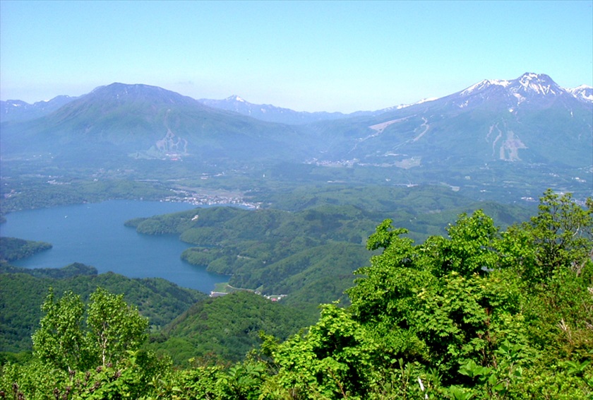
Mt. Naeba<2145m>
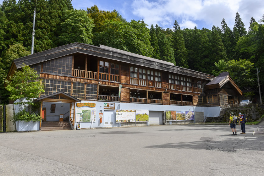
Mt. Naeba Nature Experience Exchange Center (Naeba summit hut)
Mt. Akakura, Mt. Saburyū
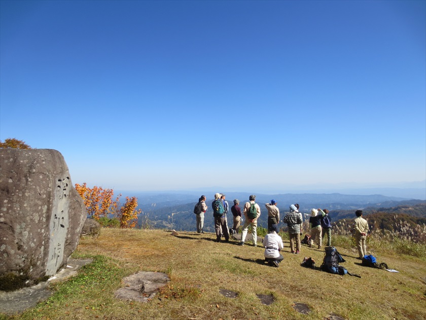
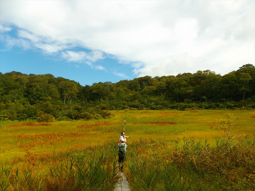
The area from the eighth station to the summit is an Alpine wetland
Steep rocky areas from the sixth to the ninth stations; slippery, so be careful.
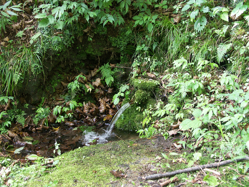
Ōse no Taki waterfall
7km
101.3km
101.3km
Mt. Naeba trailhead, ichi gōme (first station) <933m>
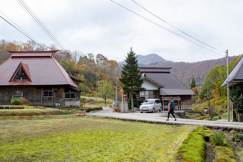
Accommodations, onsen and shops available in Koakasawa Village
Section09
10.9km
97.4km
97.4km
Ōakasawa<699m>
Yamagen Woodwork
abuchi waterfall
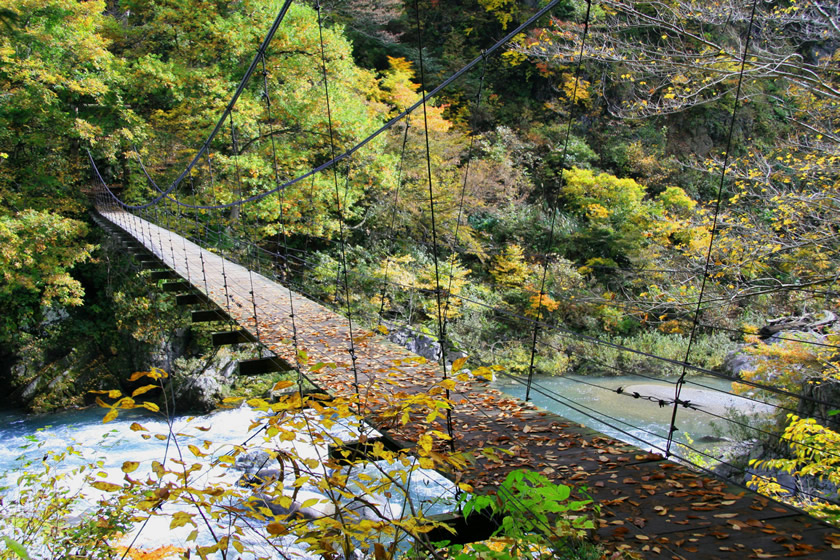
Maekura Bridge
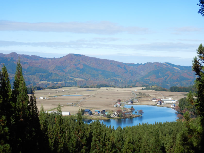
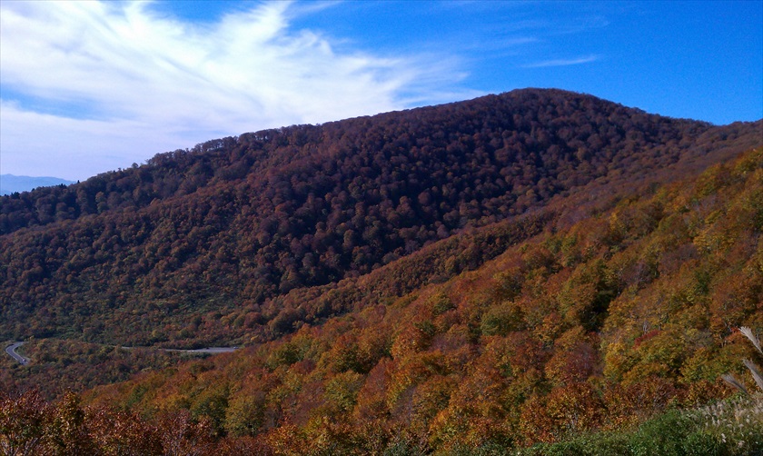
Beautiful views of autumn colors and Nakatsu Ri
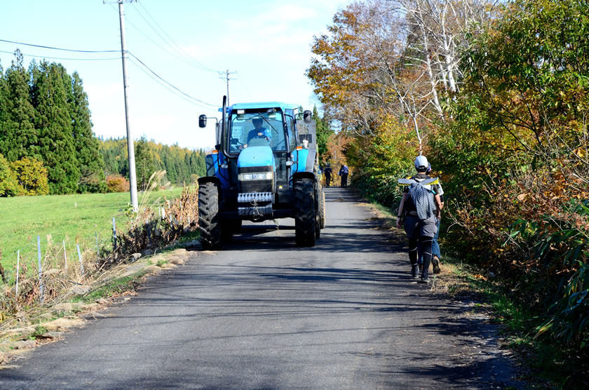
Walk along the road; be careful, as there are many large vehicles
12.7km
95.6km
95.6km
Matsuzawa Bridge<690m>
Walk on the old Kusatsu Highway above the Mikura tunnel. The path may collapse easily, so be careful of slipping.
Mt. Naeba trail (via Komatsubara marsh)
15.4km
92.9km
92.9km
Ōtochinoki (giant tochi tree)/Fūketsu (wind cave) parking area<774m>
Primeval tochi (horse chestnut) forest
17.7km
90.6km
90.6km
Mikura Bridge<502m>
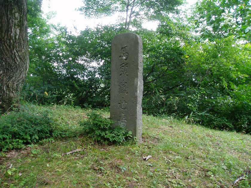
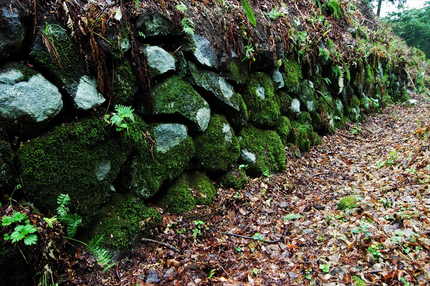
Kettō no Ishigakida (stone-walled rice fields)
Section08
19.7km
88.6km
88.6km
Azuki Jizo<935m>
25.5km
82.8km
82.8km
Myōhō Pasture Office<705m>
34.2km
74.1km
74.1km
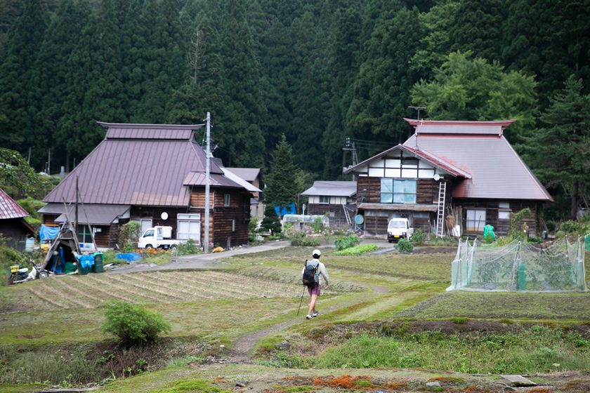
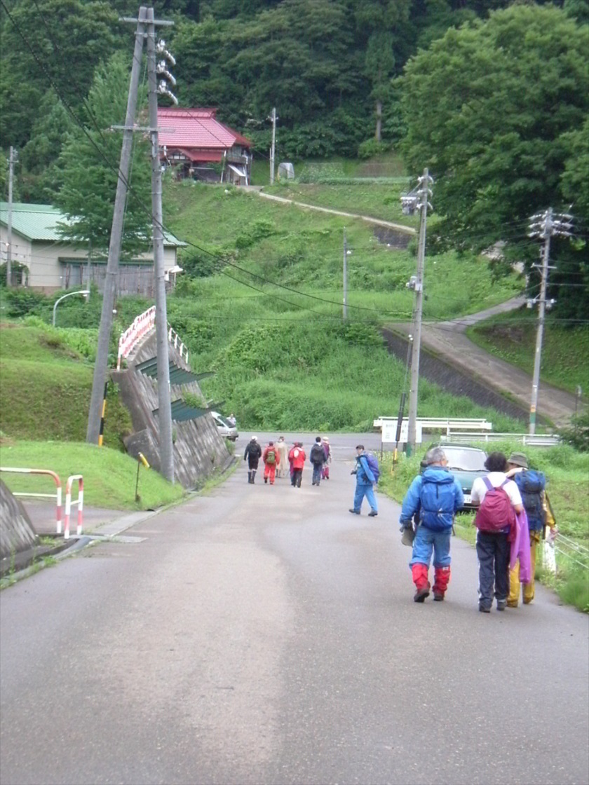
Kamigō Elementary School
Convenience store and post office in area
34.4km
73.9km
73.9km
Miyanohara Bridge<252m>
Walk along highway 117
34.9km
73.4km
73.4km
Shinetsu Sakae Michi no Eki<275m>
Shops, restaurants and accommodations can be found in the station area
Section07
Section06
45km
63.3km
63.3km
Mt. Sanpodake<1138m>
Steep slopes on the Niigata side; be especially careful on rainy d
Northernmost point of Nagano Prefecture
Nishi-Mado wetland
Mt. Hishigatake, Hishigatake tent site (closed)
53.6km
54.7km
54.7km
Sugawa Tōge pass
Mt. Hishigatake, Hishigatake tent site (closed)
Section05
Highway 495, a 10-minute walk on the Niigata side
Nabekura Kōgen Mori no I
Cupid Valley Center House
58.5km
49.8km
49.8km
Pond with a circumference of about 300 meters, surrounded by natural beech fore
59.9km
48.4km
48.4km
Utsunomata Tōge pass
Utsunomata trailhead (Nagano side)
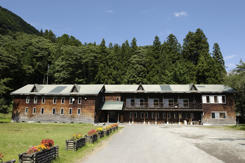
Nabekura Kōgen Mori no Ie
61.6km
46.7km
46.7km
Mt. Hanadate<1069m>
Utsunomata Trailhead (Niigata side; may be in poor condition in some places)
Nabekura Kōgen Mori no Ie・
Maki-ku, Jōetsu City
Fifteen minutes down on the Nagano side
Nabekura Kōgen Mori n
Maki-ku, Jōetsu City
66.1km
42.2km
42.2km
Nashidaira Tōge pass
Sugadaira Village, Kiyosato-ku, Jōetsu Ci
Green Pal Kōgen-s
Section04
Chaya Ike pond
Rest area on the shorelin
Green Pal Kōgen-so
Nukui Village (Iiyama City), Itakura-ku (Jōetsu City)
68.7km
39.6km
39.6km
Dōgata Tōge pass
70.2km
38.1km
38.1km
Kuguno Tōge pass
Kyoboku no Tani (“Valley of Giant Trees)
Yoshihachi Ike pond、Karayama trailhea
73.7km
34.6km
34.6km
Kozawa Tōge pass
Tondaira
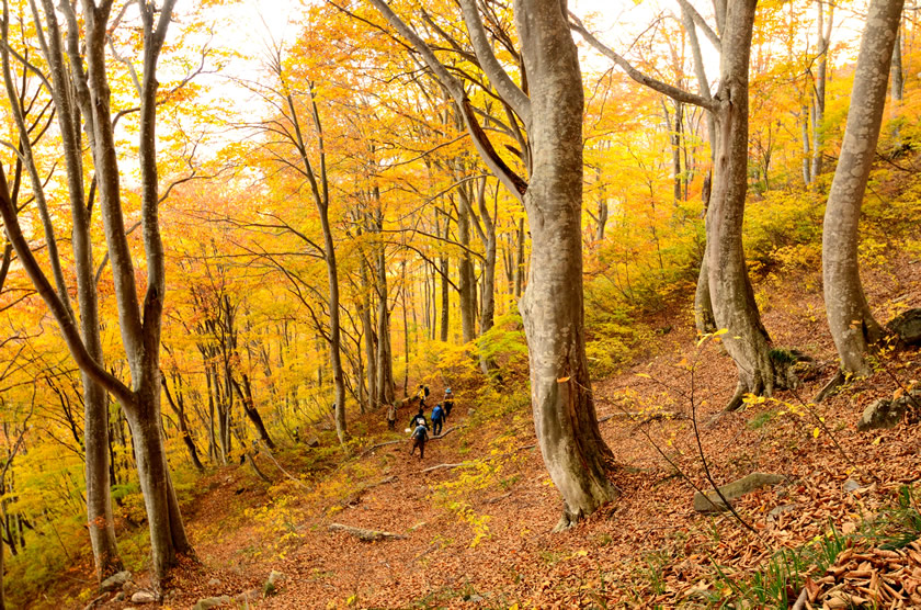
Walk through beautiful beech forest
74.2km
34.1km
34.1km
Hotake ga Mine<1146m>
Section03
76km
32.3km
32.3km
Walk across ski area
Tondaira
Walk across ski area
Sugi (cryptomeria) forest
Kitafuru Ike pond
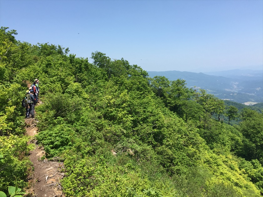
Long forest trail
Section02
Farm road
Larch forest
Gentle slope
Section01
Section01
approach
approach
Madarao Kogen Yama no Ie