- Home
- Section Introduction
- section05
Section Introduction
Section05
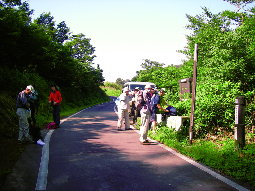
Sekida Tōge pass – Nashidaira Tōge pass – Maki Tōge pass – Mt. Hanadate – Utsunomata Tōge pass – Busuno Tōge pass
Section length: 12.4 kilometers; Time required: approx. 6 hours
Section highlights
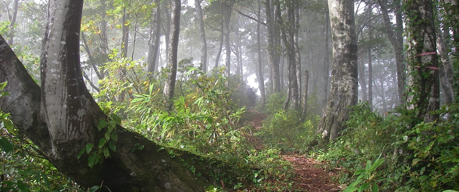
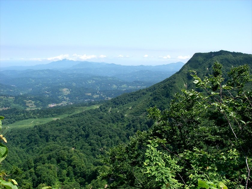
The beech trees here have curved trunks from the great weight of snow pressing on them in winter; it can feel like a competition straddling them and trying to pass over them. This is the habitat of the Forest Green Tree Frog and Japanese black salamander, as well as the native habitat of the rare nabekura zazensoui plant. When the weather is good, the sea of Japan and even distant Sado Island can be seen from Maki Tōge pass.
10.7km
6.2km
4.5km
3.1km
Key points
point1 Watch both your footing and clearance around your head in the areas of the bent beech trees.
point2 The stage between Maki Tōge pass and Busuno Tōge pass has many up and down sections and steep slopes; the slope on the Niigata side becomes steep cliffs.
point3 It is very likely that snow will remain on the Trail in this section until the end of June. Be sure to get the latest Trail information.
Milestones
Sekida Tōge pass
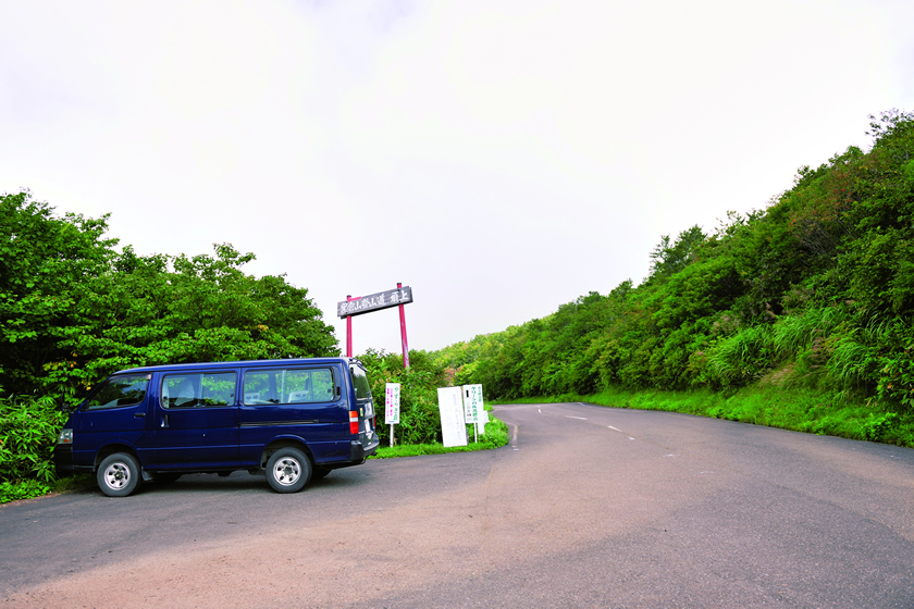
The starting point of Section 4 and 5, the elevation is roughly 1,000 meters, making it the highest pass on the Shin-etsu Trail. At a crossing on prefectural road 95, there is parking space for about five cars.
Nashidaira Tōge pass
The approach route on the Niigata side goes down toward Sugadaira and Kiyotaki in Jōetsu City. The Nagano side is undeveloped.
Maki Tōge pass
Parking space or about four cars is available just a short walk away on the Niigata side. It can be accessed from the Niigata side through the Maki ward of Jōetsu City, and from Tsuchikura district of Iiyama City on the Nagano side.
Mt. Hanatate
The midpoint between Maki Tōge pass and Utsunomata Tōge pass. The peak is 1,069 meters, and provides good views during the autumn colors. A cairn has been set up here memorializing Noriyoshi Kato, the man who laid down the foundation for the Shin-etsu Trail.
Utsunomata Tōge pass
Accessible from the Karayama district of Iiyama City on the Nagano side. The approach route is through a quiet beech forest and is free of obstacles.
Accommodations
 Tent site
 Accommodations
on the trail, within walking distance of the trail
- Green Pal Kōgen-sō
- Nabekura Kōgen Mori no Ie
off-trail accommodations
- Miyama-sō
- Togari Onsen
information on the trail and nearby facilities
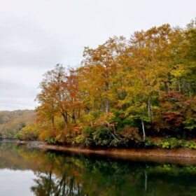 Chaya Ike pondNature
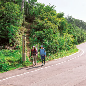 Sekida Tōge passHistory and culture
 Green Pal Kōgen-sōNearby facility
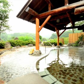 Iiyama Yutaki OnsenOnsen
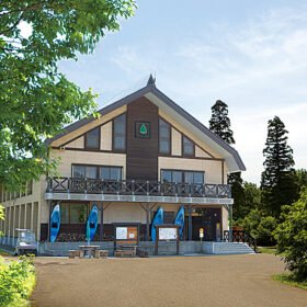 Nabekura Kōgen Mori no IeNearby facility
 Nabekura zazensōNature
 Snow-twisted beech treesNature
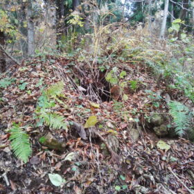 Charcoal kiln ruinsHistory and culture
 Beech forest in HabiroyamaNature
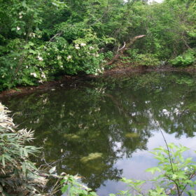 Maki no Koike pondNature
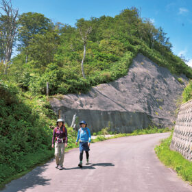 Maki Tōge passNature
2-280x280.jpg) Thermals and bird migrationNature
Thermals and bird migrationNature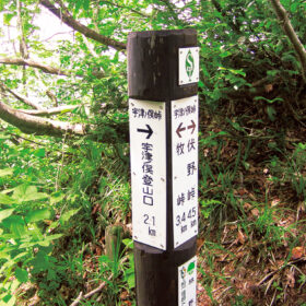 Utsunomata Tōge passNature
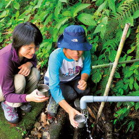 Maki no Junsui springNature
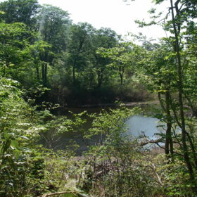 Maboroshi no Ike pondNature
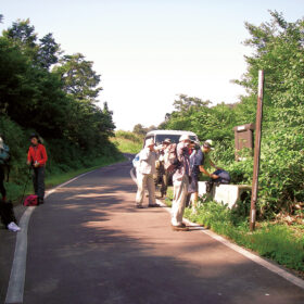 Busuno Tōge passHistory and culture
 Cupid ValleyNearby facility
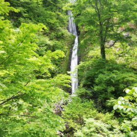 Fudō Taki waterfall, Kaen Seki (Flame Stone)Local information