- Home
- Section Introduction
- section06
Section Introduction
Section06
Busuno Tōge pass – Nonoumi Tōge pass - Fukasaka Tōge pass – Mt. Amamizu
Section length: 12.8 kilometers; Time required: approx. 7 hours (not including the approach to Mt. Amamizu)
Section highlights
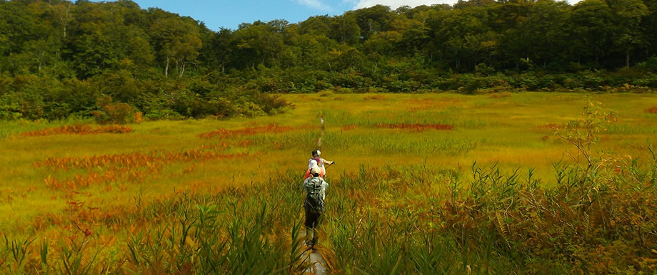
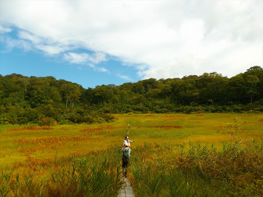
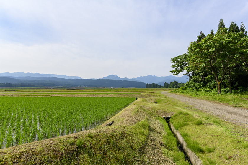
This is a section that often feels like the Trail has entered untouched nature; many giant beech trees can be found around Nonoumi Ike pond. There are many unusual and rare plants in and around Nonoumi wetland. Immediately after the snow melts, iwauchiwa (Shortia uniflora), a very rare flower, blooms here, while in autumn the colors are spectacular. Photography fans will be busy on this section of the Trail!
11km
2.4km
Key points
point1 This is the longest section on the Trail, so keep an eye on your physical condition as the Trail will continue to rise and fall.
point2 This section will have lingering snow on the Trail longer than any other section, so be sure to check on Trail conditions before you hike in spring.
point3 The section includes sharp ridges and steep slopes. Hike carefully, especially when it rains.
Milestones
Busuno Tōge pass
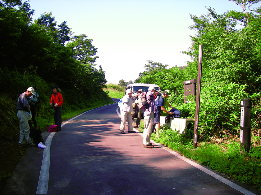
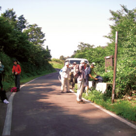
The starting point for Sections 5 and 6. Crossing highway 403, there is parking space for one or two cars. Vehicles cannot turn at the pass. There is a larger parking lot about 10 minutes by foot from the pass on the Niigata side.
Nonoumi Tōge pass
Accessible by vehicles, with a small parking lot for about three cars. There are often road closures in spring due to fallen trees and landslides.
Misaka Tōge pass
Currently accessible from the Nagano side; the Niigata side has closed due to a landslide. The approach to the Nonoumi camp site is close by here.
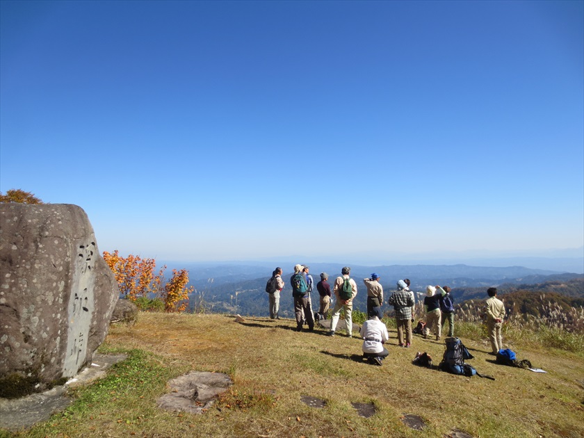
Mt. Amamizu
The starting point for sections 6 and 7. Unfortunately, it does not provide good views. From here it is about a 45-minute descent to the Mt. Amamizu Matsunoyama trailhead.
Mt. Amamizu Matsunoyama trailhead
Provides parking space for about three cars, and a bio-toilet.
Accommodations
 Tent site
 Accommodations
on the trail, within walking distance of the trail
- Nonoumi tent site
- Hishigatake tent site (closed)
- Daigonji Kōgen campsite
off-trail accommodations
- jōetsu city
- matsunoyama onsen
- echigo tanaka onsen
- Sakae Village
information on the trail and nearby facilities
 Busuno Tōge passHistory and culture
 Cupid ValleyNearby facility
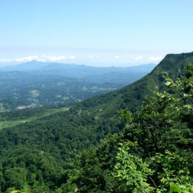 Mt. HishigatakeNature
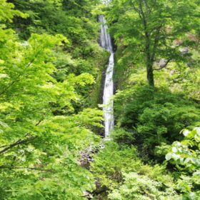 Fudō Taki waterfall, Kaen Seki (Flame Stone)Local information
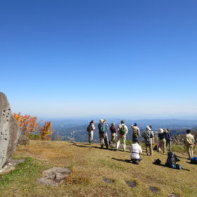 Misaka Tōge passHistory and culture
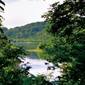 Nonoumi Ike pondNature
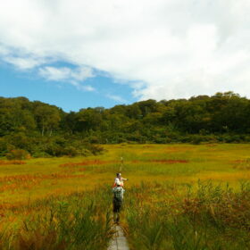 Nonoumi Shitsugen wetlandNature
 Shōbu KōgenLocal information
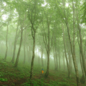 Beech forest of Amamizu-koshiNature
 Echigo-Tsumari Daigonji Kōgen CampsiteNearby facility
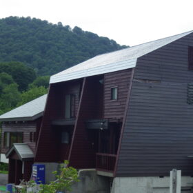 Mt. YamabushiNature
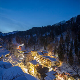 Matsunoyama OnsenOnsen
 Nasteview YunoyamaOnsen
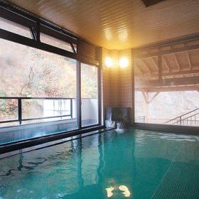 Taka no Yu OnsenOnsen
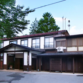 Shinano-so, Echigo-Tanaka OnsenOnsen
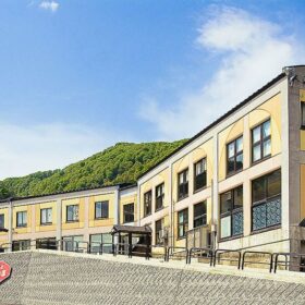 Tomato no Kuni, Nakajo OnsenOnsen
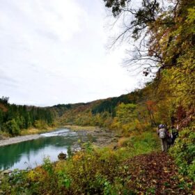 Kotaki Kōdo (Shikumi Kaidō)History and culture